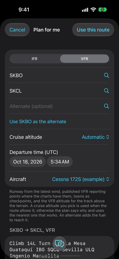
Preflight · Plan
Plan for me
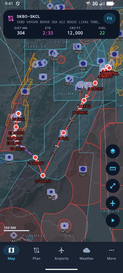
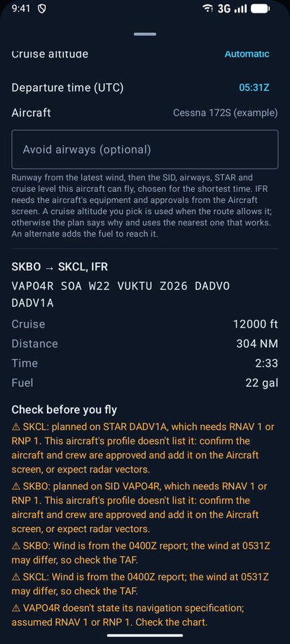
Name the departure and destination. GonavPilot picks the runway from the wind, the SID, airways, STAR and a level your aircraft can fly, keeps the route clear of the terrain, and tells you why.
Plan IFR and VFR over the real procedures and terrain, get a briefing for your route, and fly with a moving map. On iPhone, iPad and Android, in English or Spanish.
Free to start · Gonav Pro unlocks planning
In the data
What it does
From the official AIP, kept to the current AIRAC cycle. Every choice the app makes comes with its reason.
Preflight · Plan
Name the departure and destination. GonavPilot picks the runway from the wind, the SID, airways, STAR and a level your aircraft can fly, keeps the route clear of the terrain, and tells you why.
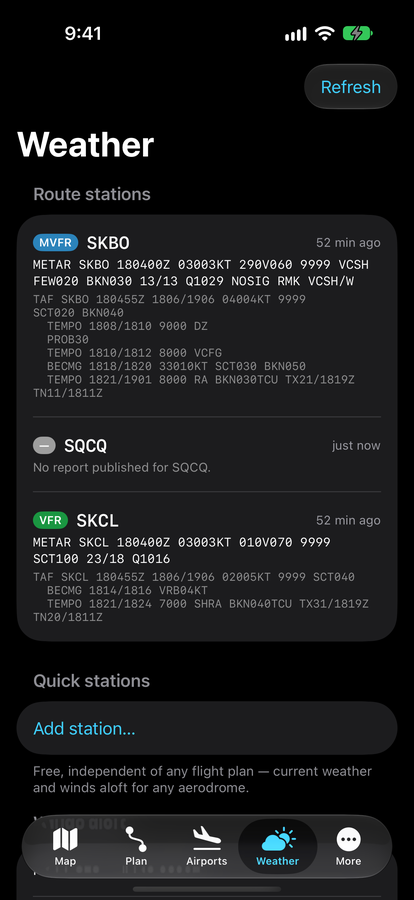
Preflight · Brief
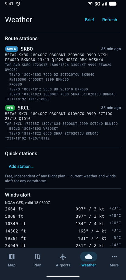
METAR and TAF for the stations you'll pass, winds aloft, SIGMETs, radar, NOTAMs and reports from other pilots, each with how old it is.
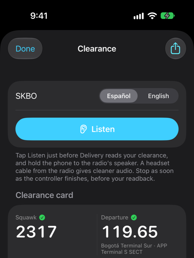
On the ground · DeliveryNew
Tap Listen and hold the phone to the radio. The clearance becomes a card: squawk, departure frequency, SID and climb, each checked against the published data and your plan.
In flight · Fly
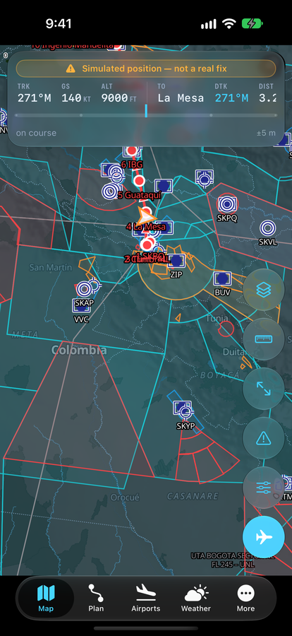
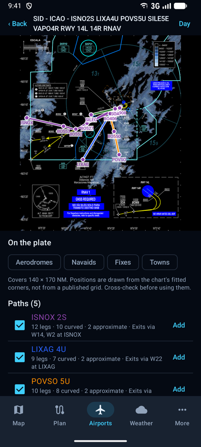
Your position on the route and on georeferenced charts, terrain shaded against your altitude, the nearest aerodromes a tap away. Works offline once the data is downloaded.
421
Charts placed on the map
359
Procedure tables read
119
Airspace zones drawn
28
Days between data updates
iPhone · iPad · Android
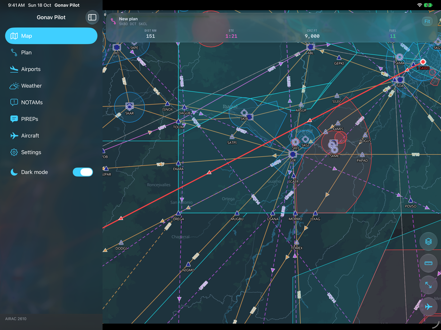
On iPad the map stays beside the plan. On Android it's the same planner, data and account, so a plan and a subscription follow you between them.
Pricing
Free
US$0
Gonav Pro
US$9.99
a month, or US$99.99 a year
One aerodrome
10–30 coins
about US$1 to US$3, for 6 months
Subscriptions renew automatically and can be cancelled in your App Store or Google Play account. Prices outside the US are shown in the app before you buy.
Availability
iPhone and iPad · TestFlight beta
iOS 17 or later. GonavPilot is in TestFlight ahead of its App Store release.
Ask for an inviteAndroid · Coming to Google Play
Android 9 or later. Write to us and we'll tell you when it's on Google Play.
Tell me whenOr write to info@gonav.app.